TE5: Conservation Area Setting
Policy TE5: Design in Eling Conservation Area
The Totton and Eling Neighbourhood Plan identifies the Eling Conservation Area, as shown on the Policies Map.
A) In applying National Decision-Making Policy DP3 on the key principles for well-designed places, development proposals and HE9 on conservation areas, development proposals should respond to their context and create well-designed places by responding to the following features that help define the essential character of the area:
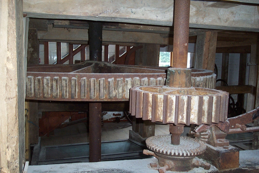
i) The Grade II* Eling Tide Mill is an historic feature of the water’s edge retaining a strong sense of historic integrity and sense of place. Development in its setting should respond positively to its distinctive waterside character and should not be of a scale or height that competes with it, especially in views from Eling Hill;
ii) The Grade II* Church of St Mary the Virgin dates from between the Norman period and the 14th century. Development in its setting should retain its prominence, especially in views of the tower and north elevation from the foot of Eling Hill;
iii) Bartley Water forms an important open space as a tidal area of salt marsh and reed beds and makes an important contribution to the distinctive, tranquil waterside character of the Conservation Area. Development should manage sensitively the transition from built form to open space in its location, orientation, scale and materials;
iv) Cole’s Farmhouse is an important survival of the rural landscape as a fine example of early 19th century architecture and forms part of a coherent and contemporaneous group of farm buildings around the yard. Development within the group and in its setting should maintain open views of the Farmhouse from Bury Lane and retain, conserve and complement the yard buildings in its location and scale;
v) The non-designated heritage assets comprising The King Rufus PH, Ivy Cottage and Bell House (formerly the Village Bells PH) date from the early 19th century and have individual and group value as reminders of the village past. Development within the group and in its setting should respond positively to their group value and the visual relationships between them.
B) Development proposals, including the redevelopment of Eling Wharf, located within the setting of the Conservation Area should, where relevant:
i) In the vicinity of the Tide Mill and causeway, respect the local distinctiveness of the historic causeway, its sense of arrival and transition, and its relationship with the riverside setting of Bartley Water;
ii) Respond positively to the distinctive open and waterside character of Bartley Water and Eling Creek with their associated tidal nature, saltmarshes, mudflats and wetland habitats;
iii) Respond to the scenic qualities of the landscape illustrated by NFDC Settlement Character Assessment (2026) including the distinct grouping of buildings at intervals along the country lanes, high brick walls and hedges, field paths, generous gardens, mature tree cover and the rural lane character of Eling Hill;
iv) Retain the contribution made by fields and areas of open land along the coast to important historic and visual links between the New Forest and the water;
v) Avoid urbanising infill development or additional urbanising features where these would erode the rural character and setting of Eling;
vi) Retain the sense of visual openness across the fields to either side of Jacob’s Gutter Lane to preserve its rural character and the perceived distinction between Totton and Eling and Marchwood;
vii) Reflect the locally characteristic material palette, typified by Flemish bond brickwork with some header bond, sash windows, clay tiles and 19th century slate, and timber-framed and brick agricultural buildings at Eling Hill Farm and Cole’s Farm, where appropriate to the character and context of the proposal; and
viii) Maintain the view upstream from the causeway across the reed beds, the view north across the Creek to the old area of Eling Quay beside the Anchor, and the views across and down Southampton Water towards Marchwood.
C) Proposals to improve the character and appearance of the Conservation Area through the redevelopment of buildings or land which currently make a negative contribution will be supported where they conserve or enhance the significance of the Conservation Area and its setting.
3.28 Policy TE5 has been informed principally by the NFDC Eling Conservation Area Character Statement (2015). The Character Statement identifies the special qualities which distinguish Eling from the surrounding urban area, including its rural and waterside setting, the historic Tide Mill and causeway, St Mary’s Church, Cole’s Farm, Bartley Water, the grouping of buildings along Eling Hill, traditional walls and hedges, characteristic building materials and important views across the Creek and Southampton Water. The policy translates these established locally distinctive features into principles which can be applied to development proposals affecting the Conservation Area and its setting.
3.29 The Character Statement also identifies the relationship between the Conservation Area and Eling Quay as an opportunity for enhancement. Although the warehousing and container storage lies outside the Conservation Area, it has a considerable influence on its setting. Eling Wharf presents a significant opportunity for change and a high-quality scheme which respects the riverside setting, improves the backdrop to the Conservation Area and strengthens the relationship between the Waterside and the open countryside.
3.30 The March 2026 NFDC Settlement Character Assessment provides more recent and complementary evidence. Its Eling Hill character area reinforces the significance of the historic rural village character, generous garden settings, mature tree cover, green verges, walls and the rural lane. It identifies tradition and heritage, the green setting of buildings and rural tranquillity as particularly valued characteristics.
3.31 The policy also responds to the importance of the setting of the local concern over the potential erosion of the distinction between Eling and Marchwood. The 2024 LUC Waterside Study identifies the rural character of Eling, wooded settlement edges and visual openness around Jacob’s Gutter Lane as important to maintaining settlement separation.